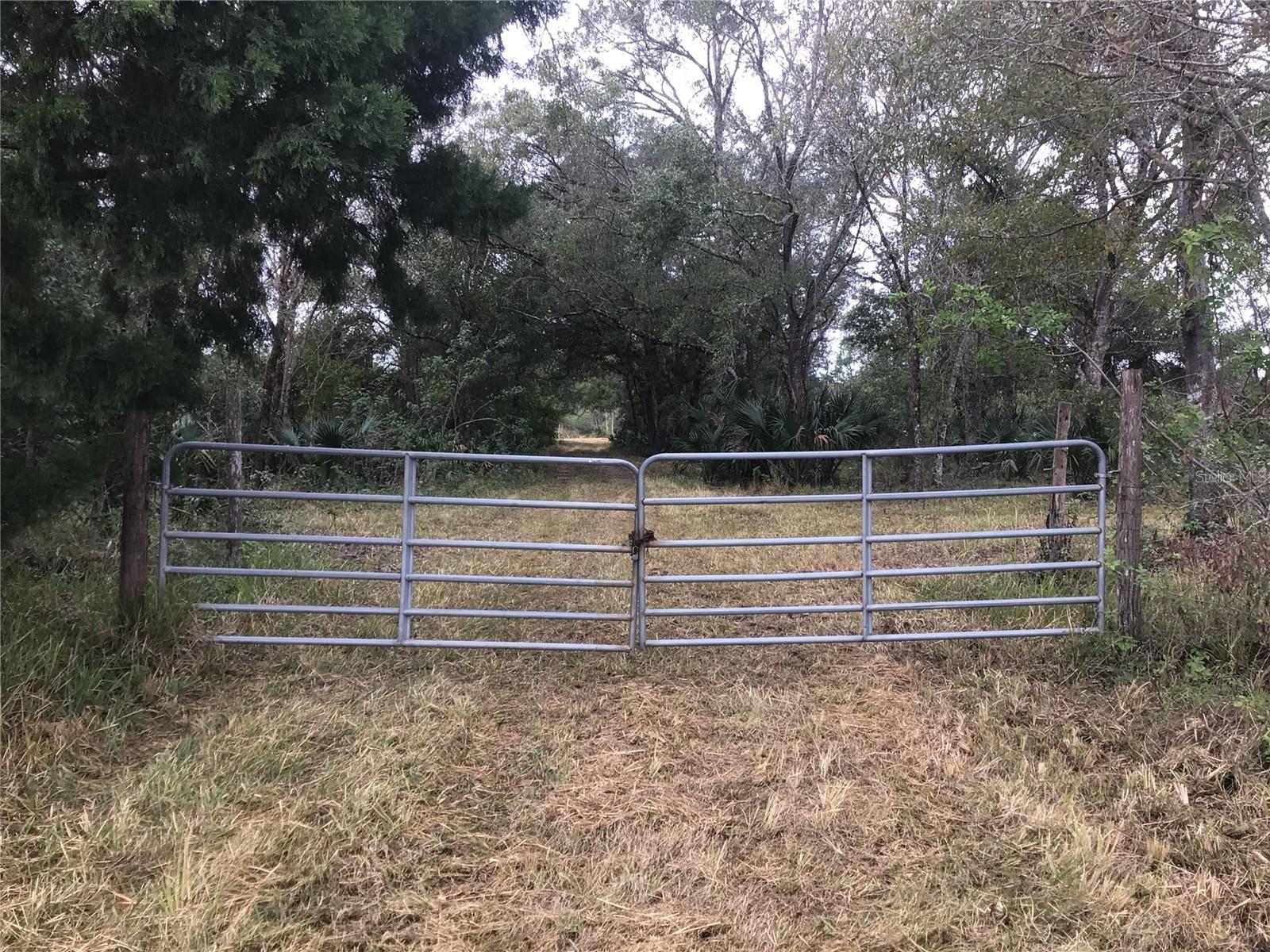
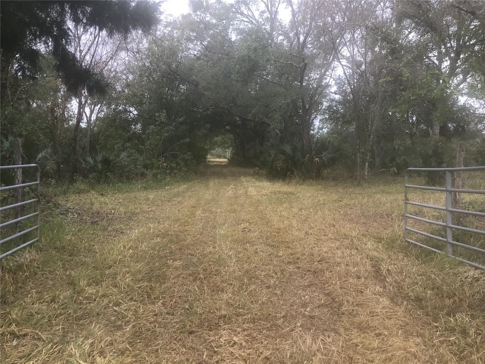
0 Irlo Bronson Memorial Highway, SAINT CLOUD, FL 34773
Property Photos

Would you like to sell your home before you purchase this one?
Priced at Only: $799,000
For more Information Call:
Address: 0 Irlo Bronson Memorial Highway, SAINT CLOUD, FL 34773
Property Location and Similar Properties


- MLS#: O6267328 ( Land )
- Street Address: 0 Irlo Bronson Memorial Highway
- Viewed: 48
- Price: $799,000
- Price sqft: $0
- Waterfront: No
- Year Built: Not Available
- Bldg sqft: 0
- Days On Market: 96
- Additional Information
- Geolocation: 28.2458 / -81.256
- County: OSCEOLA
- City: SAINT CLOUD
- Zipcode: 34773
- Elementary School: Harmony Community School (K 5)
- Middle School: Harmony Middle
- High School: Harmony High
- Provided by: PREMIUM PROPERTIES R.E SERVICE
- Contact: Dana Stanley
- 407-380-2800

- DMCA Notice
Description
Great investment opportunity in an up and coming area of expansion. Buyer to verify lot dimensions and land use.
Description
Great investment opportunity in an up and coming area of expansion. Buyer to verify lot dimensions and land use.
Payment Calculator
- Principal & Interest -
- Property Tax $
- Home Insurance $
- HOA Fees $
- Monthly -
For a Fast & FREE Mortgage Pre-Approval Apply Now
 Apply Now
Features
Building and Construction
- Covered Spaces: 0.00
- Living Area: 0.00
School Information
- High School: Harmony High
- Middle School: Harmony Middle
- School Elementary: Harmony Community School (K-5)
Garage and Parking
- Garage Spaces: 0.00
- Open Parking Spaces: 0.00
Eco-Communities
- Water Source: Well Required
Utilities
- Carport Spaces: 0.00
- Pets Allowed: Yes
- Sewer: Septic Needed
- Utilities: BB/HS Internet Capable, Electrical Nearby, Utility Pole
Finance and Tax Information
- Home Owners Association Fee: 0.00
- Insurance Expense: 0.00
- Net Operating Income: 0.00
- Other Expense: 0.00
- Tax Year: 2023
Other Features
- Country: US
- Current Use: Agricultural
- Legal Description: SE 1/4 OF SE 1/4 LESS SLY 42 FT FOR RD R/W AND LESS COM AT SE COR OF SEC, N 42.10 FT TO PT ON N R/W OF HWY 441 BEING POB, N 363 FT, W 155 FT, S 363 FT, E 155 FT TO POB AND LESS COM AT SW COR OF SEC, N 705.80 FT TO NLY R/W SR 500, S 64 DEG E 333.83 FT TO POC, CONCAVE NELY, RAD 5696.65 FT, CH S 77 DEG E, SELY 2517.20 FT, E 1281.31 FT TO POB, N 107.59 FT TO POINT ON NON-TAN CURVE, CONCAVE SLY, RAD 11559.16 FT, CH N 88 DEG E, ELY 781.53 FT, E 396.95 FT MOL TO POINT ON W LINE OF PARCEL DESCRIBED IN O R 1018 PG 2982, S 134.00 FT, W 1165.73 FT TO POB
- Area Major: 34773 - St Cloud (Harmony)
- Parcel Number: 11-27-32-0000-0030-0000
- Views: 48
- Zoning Code: OAC
Contact Info

- Samantha Archer, Broker
- Tropic Shores Realty
- Mobile: 727.534.9276
- samanthaarcherbroker@gmail.com


